
Nepal climbs from the southern plains, only about sixty metres above sea level at its lowest reaches, to the highest summit on Earth in a span that fits inside many countries twice its width. That vertical geography is not scenery alone — it is the syllabus for work, risk, and imagination.
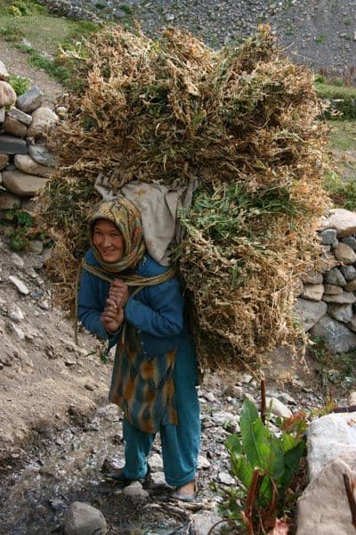
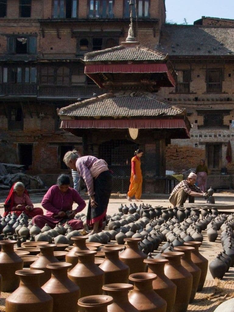
The Terai and inner valleys grow grain, sugar, rice, and industrial crops; heat and monsoon rivers define the calendar. The middle hills — the pahad — are staircases of terraces, forests, and district towns linked by winding roads that landslides can erase overnight. The Himalayas combine high pasture, glacier risk, trekking economies, and borderlands where altitude decides what can grow and what must be carried.
Trade has long threaded these belts: salt and wool downward, grain and manufactures upward, and now phones, cement, and remittance cash in every direction. Adaptation is ordinary: stone walls against erosion, community labor for roofs, bridges rebuilt after floods. Climate stress — glacial lakes, erratic rain — sits atop older stories of hazard Nepalis already knew how to narrate.
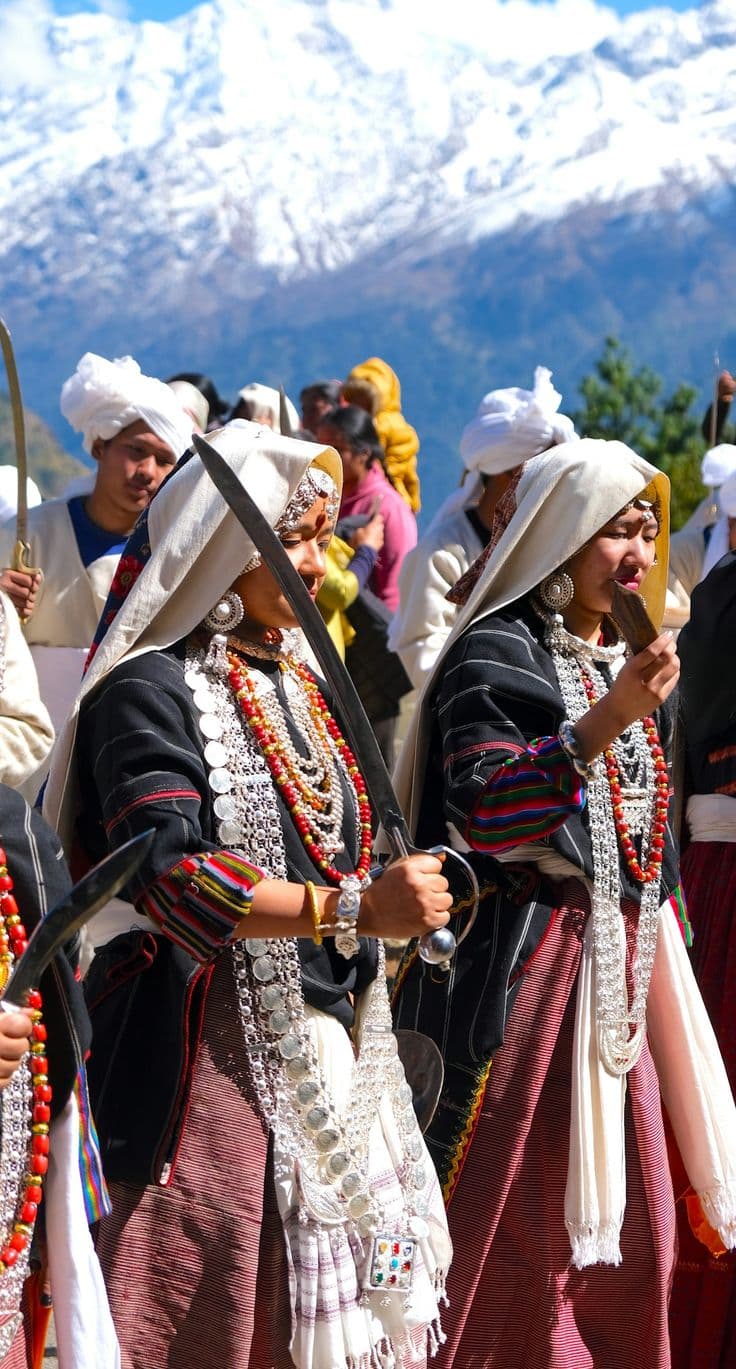
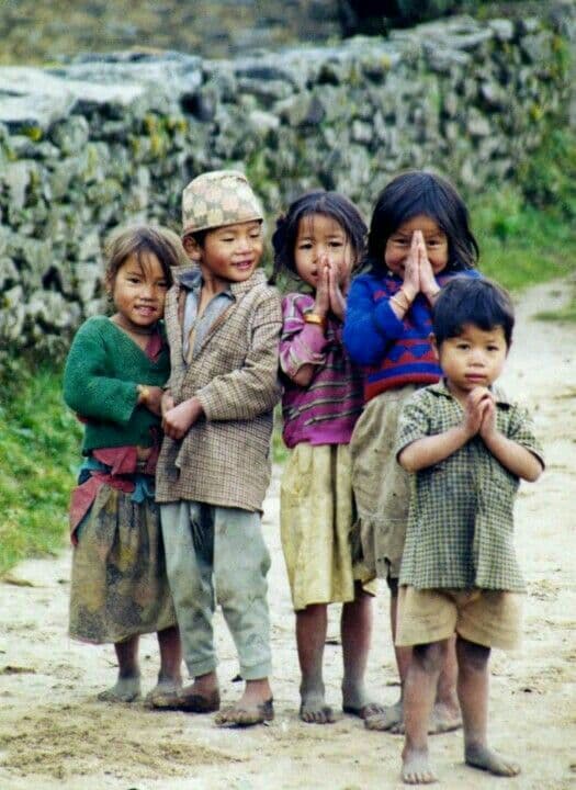
Official maps divide the country into provinces and districts, but people still describe home by river, pass, and market day. A story from Ilam sounds different from one in Humla not because one is more “authentic,” but because the ground underfoot teaches different patience.
Historical & cultural context
Geographers and census reports alike describe Nepal as overwhelmingly mountainous, with a thin southern strip of cultivable plain that nonetheless feeds a disproportionate share of the population. Historical gazetteers from the Rana era through modern development plans repeat the same engineering dream — roads, irrigation, grid power — against terrain that resisted empire-builders and still resists asphalt. Understanding that structural fact helps explain migration, federal budgeting, and why a video from a single district can feel like a dispatch from another country entirely.
The map is steep, but the people who live on it have always known how to read the slope.
Photo Gallery
Elevation, agriculture, and sky — editorial stills from Nepal’s vertical geography.


Places Where This Story Lives
From lowest river bend to highest pasture, livelihoods and dialects shift with contour lines.
Cultural Highlights
Quick reference points — Nepal’s depth is always larger than a headline.
8,848 m
Summit scale
Nepal holds the world’s highest point — and the stakes that come with it.
≈200 km
Plain to peak
A short map distance can mean radical change in climate and work.
77
Districts
Each official map unit holds distinct risk, crop, and story.
∞
Trails of trade
Salt, grain, and people have crossed these ridges for centuries.
More to read
Continue with related themes — each story is a doorway into a different side of Nepal.


SpotNepal
Keep exploring
Browse more stories, watch clips from across districts, or add your own perspective.